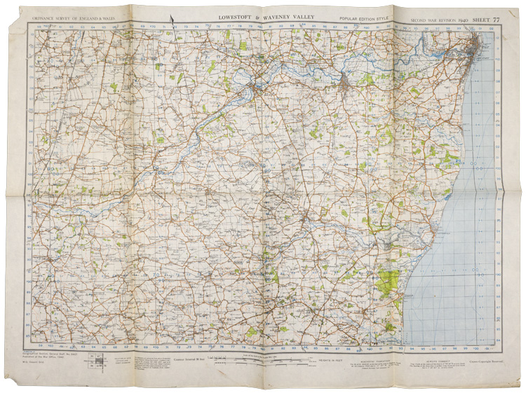
C047086 BRITISH WAR OFFICE LOWESTOFT & WAVENEY MAP.
A 76cm x 55.5cm single sided map titled "Ordnance Survey of England & Wales, Lowestoft & Waveney Valley, Second War Revision 1940, Sheet 77". Dated 1942. The map has heavy fold lines due to storage with tearing and holes to the corner. The map measures approximately 20cm x 29cm when folded.
GRADE *** 3/4 PRICE $36.00
To Order this item, please use one of the two e-mail addresses below to contact us. Please make sure to quote the item number in your e-mail
MILITARIA WANTED! If you have items for sale, please contact us. We specialize in selling single pieces and entire collections. Over 3 decades in the business and we do all the work for you. Get the best return for your investment.
-E-Mail Address pawmac@nbnet.nb.ca Or guild@nb.aibn.com
To return to the main page please CLICK below