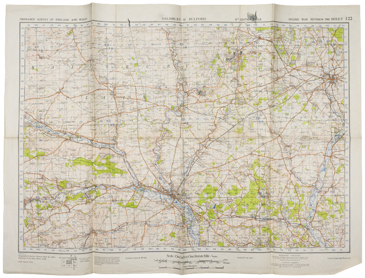
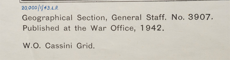
C046986 BRITISH WAR OFFICE SALISBURY & BULFORD MAP.
A 78cm x 56cm single sided map titled "Ordnance Survey of England & Wales, Salisbury & Bulford, Fifth Edition Style, Second War Revision 1940, Sheet 122". Dated 1942. The map has heavy fold lines due to storage. The map measures approximately 19.5cm x 28.5cm when folded.
GRADE **** PRICE $36.00
To Order this item, please use one of the two e-mail addresses below to contact us. Please make sure to quote the item number in your e-mail
MILITARIA WANTED! If you have items for sale, please contact us. We specialize in selling single pieces and entire collections. Over 3 decades in the business and we do all the work for you. Get the best return for your investment.
-E-Mail Address pawmac@nbnet.nb.ca Or guild@nb.aibn.com
To return to the main page please CLICK below